ضلع موسیخیل
District Administration

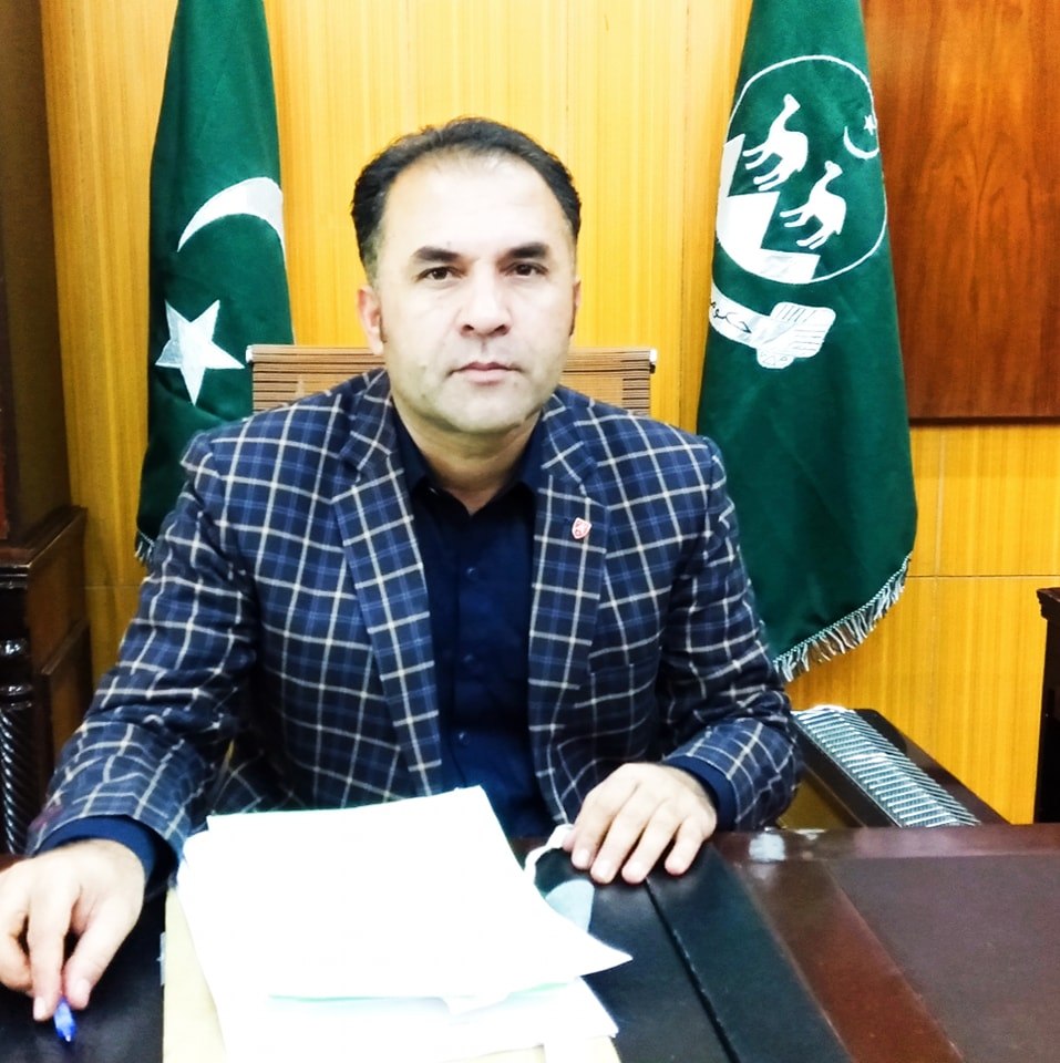
Mr. Azeem Jan Dummer
Deputy Commissioner Musakhel
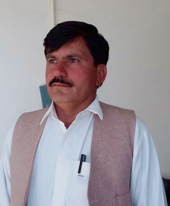
Mr. Mehtab Shah
Assistant Commissioner Musakhel

Riaz Ahmad
District IT Officer Musakhel
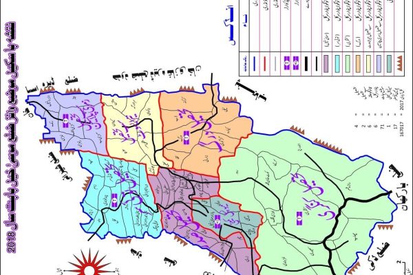
District Musa khail

1. Creation of the District:
The name of District Musakhel is derived from “Musa” forbearer of Musakhel tribe.
Creation of District 01.01.1992
District was merged back into Loralai 31.12.2000
declaration of the district 01.01.2003
2.
It is hard to trace the historical account of Musakhel. However, by studying the history of Kandahar and northern Balochistan, some historical account can be ascertained regarding Musakhel. Accordingly, this area, being a part of Kandahár province, has been ruled by the Ghaznavids, Maliks of Kurat Dynasty, Amir Timur and his successors (1383-1470 AD), Sultan Husain Mirza of Herát (1470-1480 AD), and Amir Shuja-ud-Din Zunnún (1480-1504). In 1505 AD, the Mughals conquered the province of Kandahár and held it till 1559 AD, after which, the Safavid kings of Persia ruled.
3.
The Mughals regained the province in 1595 AD, and lost again in 1622 AD, to the Safavid kings of Persia. This time, the Safavids, conferred the government of Pishin and its tribal dependencies upon Sher Khan Tareen. He, after seven years, refused to submit to the governor of Kandahár and became semi-independent, however, he had to retreat later on. In 1709 AD, the Afghan inhabitants rose under Mir Wais Ghilzai and established the Ghilzai power in Khandahar. The Ghilzai power was terminated by Nadir Shah 1737AD. After the assassination of Nadir Shah in 1747 AD, the first democratic Government was established in Khandahar by Afghans and they elected Ahmed Shah Durrani as their ruler in 182, the first Amir of Afghanistan, Dost Muhammad Barkzai, took ho;ld of the area and annexed it to Afghanistan. . After the first phase of the Afghan war in 1878-79 AD, the British took control of northern areas of Balochistan under the treaty of Gandamak. During 1879-84 AD, efforts were made to extend the British influence over the Khetrans and Musakhels of the current Musakhel territory.
4.
. The Musakhels’ took part in atrocities committed by the Kakars under Shah Jahan in 1884, but surrendered to British government on the conclusion of expedition in same year. On 1 November, 1887, the whole area was declared a part of British India. Zhob Agency was formed in 1890 and Musakhel territory was annexed to it. Musakhel was made a Tehsil in 1892 and was transferred to Loralai District in October 1903. remained a Tehsil of Loralai district till 1 January 1992; when it was notified as a district as a result of dividing Loralai district into 3 districts, Loralai, Musakhel, and Barkhan. Musakhel was separated from Loralai after having been granted district status on 1 January, 1992.The district headquarter is in “Musakhel Bazar”. The district is located in the east of the Quetta City, the provincial capital of Balochistan, sharing its boundaries in the east with Punjab and Khyber Pakhtonkhawa provinces. Loralai and Barkhan Districts are on the south and Zhob in the west. Musakhel comprises of thick forest areas, hills and plains, high Mountains and huge grass lands with varying ground elevation between 393 – 3,013 meters above Mean Sea Level.
5. MAP:
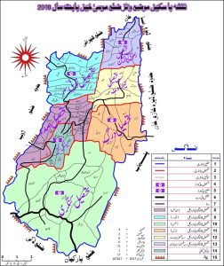
6. Tehsils of District Loralai
- Musakhel
- Durug
- Toisar
- Kingri
7. Religion:
Since the archeological Department has not surveyed so far and no historical place found, However some areas in Toisar Sali areas available. Which suggests that in past people made caves as the abode.
7. Tourist Site
The Following tourist sites are situated in District Musakhel.
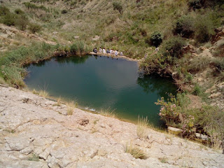
- Sali Hill
- Zam
- Chapper Essot ( Zawer Essot)
8. Mineral
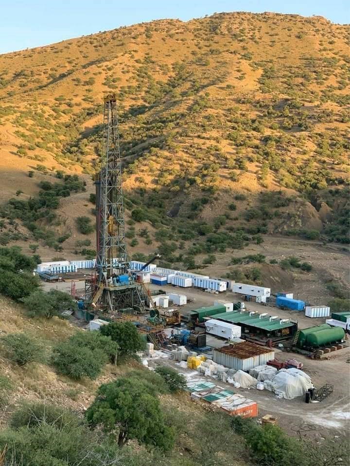
.Oil & Gas (2) Marble (3) coalmines
Gas discovered as announced by OGDCL on 27.11.2020 vide letter No. CS04.08/PSX/LSE dated 27.11.2020 Lakhirud X-1, (Tehsil Kingri District Musakhel).
9. Land Ownership
71-Revenue Mouza settled areas and several land owners in small and no land lord according to the Revenue record.
Total Settled areas 119393 (Acres)
Total Unsettled area 1294680 (Acres)
Mostly farmers using land for agriculture purpose. The detail of settled land is as under:
- Total Settled area 119393-Acres
- Government Land 782-13 (R-P)
(1) Shared Tenancy: Under this system the cost of land preparation, seed, fertilizer and pesticides, irrigation, harvesting and threshing charges; all these expenditures are to be met by the landowner. However, the crop produce is then divided between the owner and the tenant based on a set formula.
(2) Cash Tenancy: Land from the owner on lump-sum basis is undertaken for an agricultural year and all the expenses right from land preparation to harvesting and threshing are to be met by the tenant.
(3) Crops Sharing Systems: This is almost the reverse form of the cash tenancy. The land owner gives his land to the cultivator and all cost of production has to be borne by him. Normally, 20% of the production is given to the landowner.
10. Major Tribes
Musakhel ( Belkhel & Leharzai 2.Jaffar. 3.Essot 4. Buzdar 5. Qaisrani. 6.Gharshin & Bukhari Syed. 7.Marghzani. (8) Zimri. (9) Khundi
- Means of livelihood
- Educational Facilities
- Available Health Facilities
- Rivers, Stream, Dam
- Major Issues
- Livestock
- Agriculture
- Small business (Shops etc)Govt Jobs
1.Govt Boys Degree College 01 2.Govt Boys Inter Colleges 02 3.Govt Girls Inter College 01 4.Govt Boys Higher Secondary School 01 5.Govt Boys Model Boys High School 01 6.Govt Boys High Schools 13 7.Govt Girls High Schools 07 8.Govt Boys Middle Schools 16 9.Govt Girls High Schools 06 10.Govt Boys Primary Schools 207 11.Govt Girls Primary Schools 67 12.Govt Primary Schools ( Gender Free) 22 |
- District Headquarter Hospital: 01
- RHC: 01
- MCH: 02
- BHUs: 23
- CDs: 15
- River Nil
- Streams 06
- Nuhllah 12
- Dams 07
1.Road infrastructures (Musakhel to Sangar N-50) 2.Road Infrastructure (Kingri N-70 to Musakhel 3.Rehbilitation of capped schemes including Musakhel Town Project and internal roads, Tehsil Office Toisar. 4.Early Completion of Dergai Shabozai Road (Inter Provincial 5.Construction of Building Govt Girls Inter College Musakhel 6.Latest Agriculture Technology. (Olive extraction oil) 7.Posting of Doctors 8.Missing Facilities in Health institution. 9.Major Repair of District Headquarter Hospital Musakhel. 10. Replacement of main line electricity from Kingri to Musakhel 11.Construction of Gird Station at Musakhel 12.Acute shortage of Office & residential accommodation.
|
Tourists Site

Minerals
1.Oil & Gas (2) Marble (3) coalmines Gas discovered as announced by OGDCL on 27.11.2020 vide letter No. CS04.08/PSX/LSE dated 27.11.2020 Lakhirud X-1, (Tehsil Kingri District Musakhel).
Marble: Revealed in Tehsil Musakhel and Durug.
Coalmines: Tehsil Durug and Tehsil Kingri


